How to Reach Kangra, Himachal Pradesh: The Ultimate Travel Guide
Planning a trip to the land of gods in 2026? Discover the easiest, most scenic, and fastest ways to travel to Kangra District by air, train, and road.
Planning Your Journey to Kangra
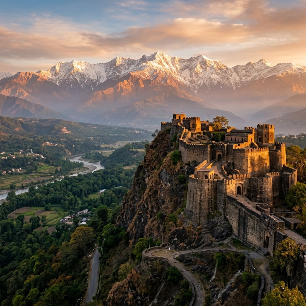
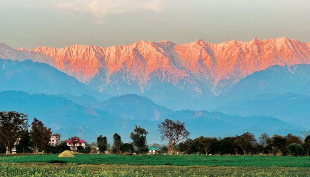
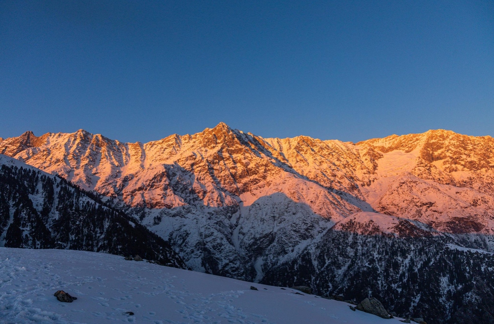
Nestled in the lap of the majestic Dhauladhar range, the Kangra district is one of the most sought-after tourist destinations in Himachal Pradesh. Home to popular towns like Dharamshala, McLeod Ganj, Palampur, and Bir Billing, the district welcomes millions of domestic and international tourists every year.
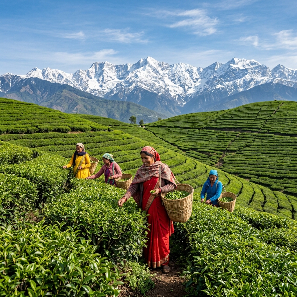
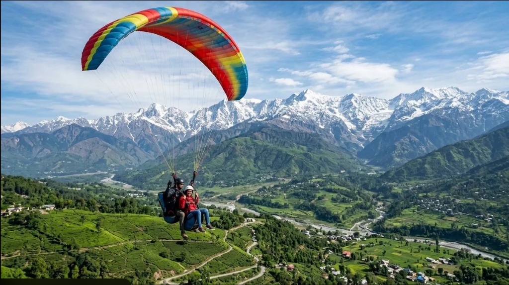
Whether you are an adventure enthusiast heading for paragliding, a spiritual seeker traveling to see the Dalai Lama, or a nature lover wanting to explore the tea gardens, the first question that arises is: How to reach Kangra efficiently?
Unlike many remote Himalayan regions, Kangra boasts excellent connectivity. As of the latest 2026 infrastructure updates, it remains one of the few districts in the state that is easily accessible via all three major modes of transport: air, rail, and road. This comprehensive guide will break down every possible route, distance, travel time, and insider tip to help you plan your journey seamlessly.
By Air: Flights to Kangra (Gaggal Airport)
Traveling by air is undoubtedly the fastest and most convenient way to reach the Kangra district, especially for international tourists and travelers coming from distant Indian states like Maharashtra, Karnataka, or West Bengal.
Kangra Airport (DHM) - Gaggal
The primary airport serving the district is the Kangra Airport, officially known as Gaggal Airport (IATA code: DHM). It is located in the town of Gaggal, which is strategically situated just 14 kilometers south of Dharamshala and about 8 kilometers from Kangra town.
Gaggal Airport is well-connected to major metropolitan cities, with New Delhi being the primary hub. Airlines such as Alliance Air, SpiceJet, and IndiGo operate daily flights between Indira Gandhi International Airport (DEL) in Delhi and Gaggal. The flight duration is approximately 1 hour and 30 minutes.
Because it is a high-altitude tabletop runway, the flights offer breathtaking aerial views of the snow-capped Dhauladhar mountains as you approach the landing strip. However, due to its geographical location, flight schedules are heavily dependent on weather conditions. During the monsoon season (July and August) or heavy winter fog, flights can occasionally be delayed or canceled.
Alternative Airports
- Chandigarh International Airport (IXC): Located about 250 kilometers away, this is a larger airport with better connectivity across India and some international destinations. From Chandigarh, you can hire a taxi or take a Volvo bus to Kangra, which takes about 6 to 7 hours via the newly upgraded 2026 highway sections.
- Sri Guru Ram Dass Jee International Airport, Amritsar (ATQ): Located roughly 200 kilometers away, Amritsar is another excellent alternative. The drive from Amritsar to Kangra takes about 5 hours and is highly scenic.
By Train: Railway Routes to Kangra
If you enjoy the rhythmic chug of a train and want to experience the transition from the bustling plains to the serene mountains, traveling by train is a fantastic option. Kangra is unique because it is serviced by both a broad-gauge railway network (in the neighboring state) and its own historic narrow-gauge toy train.
Pathankot Junction: The Gateway to Kangra
The nearest major broad-gauge railway station to the Kangra district is Pathankot Junction (PTK) and Pathankot Cantt (PTKC) in the neighboring state of Punjab. Pathankot is roughly 90 kilometers from Kangra town.
Pathankot is highly connected to the rest of India. Major trains from New Delhi, Mumbai, Ahmedabad, Kolkata, and Chennai halt here. From New Delhi, overnight trains like the Dhauladhar Express and the Vande Bharat Express (running till Una/Pathankot) are highly popular among tourists. Once you arrive at Pathankot, you have two choices to proceed to Kangra:
1. The Kangra Valley Railway (Toy Train)
For a truly nostalgic and mesmerizing experience, you can board the Kangra Valley Railway. This narrow-gauge train runs from Pathankot to Jogindernagar, passing right through the heart of the Kangra district.
Unlike the Kalka-Shimla railway, which climbs steep gradients rapidly, the Kangra Valley Railway meanders gently through lush green valleys, crossing over deep ravines, pine forests, and rustic villages. The journey from Pathankot to Kangra Mandir station takes about 4 to 5 hours. It is not the fastest way to travel, but it is certainly the most picturesque. It is highly recommended for photographers, slow-travel enthusiasts, and families.
2. By Road from Pathankot
If you are short on time, simply walk out of the Pathankot railway station and hire a private taxi or board a state-run HRTC (Himachal Road Transport Corporation) bus. The road journey from Pathankot to Kangra takes about 2.5 to 3 hours, depending on traffic, and offers a smooth ride along National Highway 154.
By Road: Driving to Kangra (Buses & Private Vehicles)
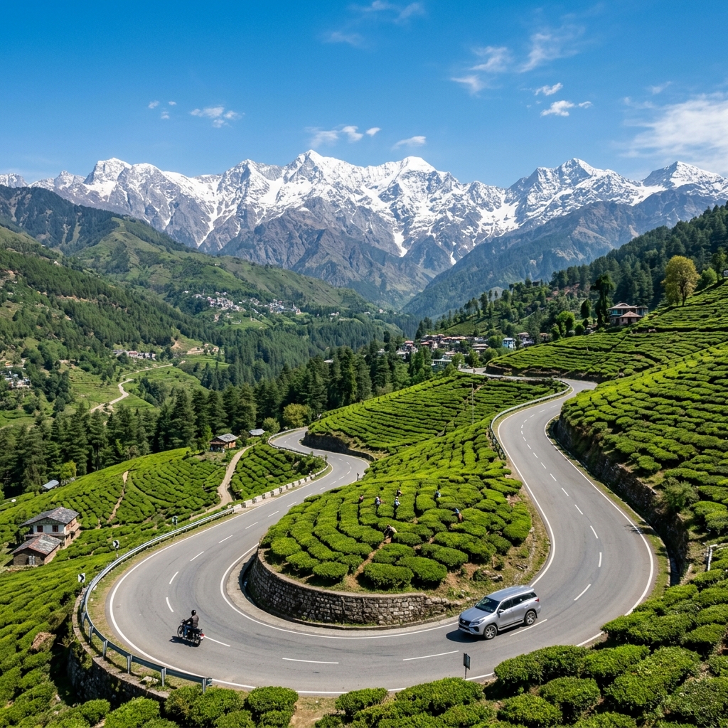
For many travelers in North India, a road trip to Kangra is a ritual. The highways leading to Himachal Pradesh are well-maintained, lined with delicious Punjabi dhabas, and offer a gradual, beautiful ascent into the mountains.
Bus Services (Volvo and HRTC)
The Himachal Road Transport Corporation (HRTC) and various private operators run excellent daily bus services from New Delhi (ISBT Kashmere Gate and Majnu Ka Tila) and Chandigarh (Sector 43 ISBT) to major towns in Kangra like Dharamshala, Palampur, and Baijnath.
Most tourists prefer the overnight AC Volvo buses. You board the bus in Delhi around 7:00 PM to 9:00 PM and wake up to the fresh mountain breeze in Kangra between 6:00 AM and 8:00 AM. It is cost-effective, comfortable, and saves you a day of travel.
Self-Drive: Route from New Delhi
The road distance from New Delhi to Kangra town is approximately 470 kilometers. The drive takes about 10 to 12 hours. The most popular and well-paved route is:
Delhi → Panipat → Karnal → Ambala → Chandigarh (or bypass via Kharar) → Rupnagar (Ropar) → Anandpur Sahib → Nangal → Una → Amb → Pragpur → Kangra.
This route offers four-lane highways up to Ropar, after which it transitions into a two-lane state highway. The ascent begins gradually after Una. The roads are generally wide and safe, making it an excellent route even for drivers who are new to hill driving.
Self-Drive: Route from Chandigarh
If you are starting your journey from Chandigarh, the distance to Kangra is about 225 kilometers, taking roughly 5 to 6 hours. You simply join the route mentioned above at the Kharar/Ropar point. The journey is incredibly scenic once you cross into Himachal Pradesh, with the Govind Sagar Lake (Bhakra Nangal Dam reservoir) appearing on your left near Una.
Local Transportation Within Kangra
Once you have reached Kangra, getting around the district is relatively straightforward. The local transport infrastructure is robust, catering heavily to the local population and tourists alike.
- Local Buses: HRTC operates an extensive network of local buses connecting every major town and remote village in the district. It is the cheapest way to travel. Private mini-buses also run frequently between Dharamshala, Kangra, Palampur, and Baijnath.
- Taxis: Taxi unions operate in every major town. You can easily hire a local taxi for sightseeing or point-to-point drops. Remember that taxi fares are generally fixed by the local union, but it is always good to confirm the rate beforehand.
- Two-Wheeler Rentals: In tourist hotspots like McLeod Ganj, Dharamkot, and Bir Billing, renting a scooter (like an Activa) or a motorcycle (like a Royal Enfield) is immensely popular. It gives you the freedom to explore narrow mountain roads, tea estates, and hidden waterfalls at your own pace.
Essential Travel Tips for Kangra (2026 Update)
To ensure your journey to Kangra is as magical as the destination itself, keep these essential travel tips in mind:
- Weather Checks: If you are driving during the monsoon (July-August) or peak winter (January), always check the local weather forecasts and road conditions. Landslides or heavy snowfall can temporarily block certain routes.
- Book in Advance: During the peak summer tourist season (May-June) and the festive season around Diwali/Dussehra, Volvo buses, trains, and flights get fully booked weeks in advance. Plan and book early.
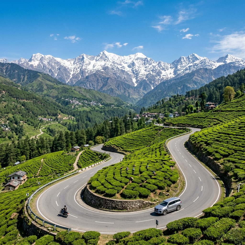
- Motion Sickness: The roads from Una/Pathankot up to Dharamshala/Palampur are winding mountain roads. If you or your co-passengers suffer from motion sickness, carry appropriate medication and avoid heavy meals before the ascent.
- Night Driving: While the highways leading to Himachal are safe, it is generally advisable to avoid driving in the hills late at night if you are inexperienced, due to limited visibility and the occasional movement of wildlife.
Reaching Kangra is the first beautiful step of your Himalayan adventure. Whether you choose to fly over the snowy peaks, chug along the heritage railway, or drive through the winding pine forests, the journey sets the perfect tone for the enchanting experiences that await you in the valley of the gods.
Frequently Asked Questions (FAQs)
How long does it take from Delhi to Kangra by road?
The road journey from New Delhi to Kangra covers approximately 470 kilometers and takes about 10 to 12 hours depending on traffic and the route taken.
Is there an airport in Kangra?
Yes, Kangra Airport (IATA code: DHM), officially known as Gaggal Airport, is located just 8 kilometers from Kangra town. It has regular flights connecting to New Delhi.
What is the nearest railway station to Kangra?
The nearest major broad-gauge railway station is Pathankot Junction (PTK) in Punjab, about 90 km away. From Pathankot, you can take a taxi, bus, or the narrow-gauge Kangra Valley Toy Train directly into the district.